Mapping & autonomous systems
Adaptive LiDAR Mapping
FOVEA-NET · Intelligent adaptive LiDAR perception
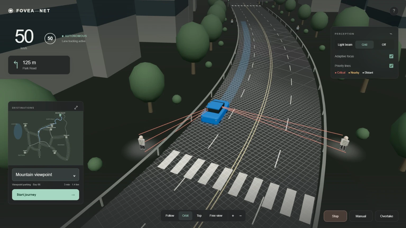
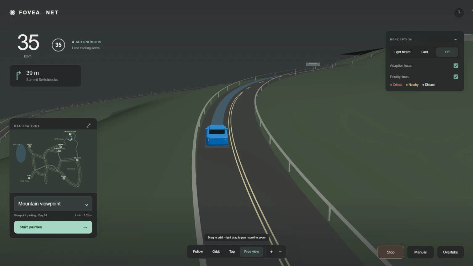
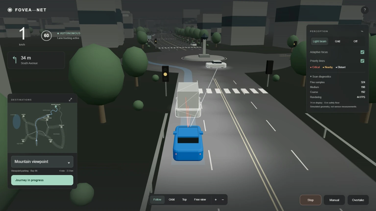
FOVEA-NET explores adaptive LiDAR mapping for autonomous vehicles, concentrating detail around potential hazards and the vehicle’s predicted path.
- Project team
- Team Gol D.
- Status
- College-level SIH winner
- Year
- 2026
Proposed technologies
- Open3D
- NumPy
- PyTorch
- PointNet++
- Morton coding
- JavaScript
- Three.js
- CARLA
The idea
FOVEA-NET proposes a variable-resolution 2.5D elevation map that retains height information and focuses detail around hazards and the predicted driving path. Team Gol D. developed the concept for SIH 2026 problem statement SIH26053.
The approach
The proposed pipeline filters LiDAR point clouds, classifies terrain and obstacles, then adjusts mapping resolution using risk and uncertainty. The screenshots demonstrate the concept in a driving simulation; real-world performance is yet to be validated.